

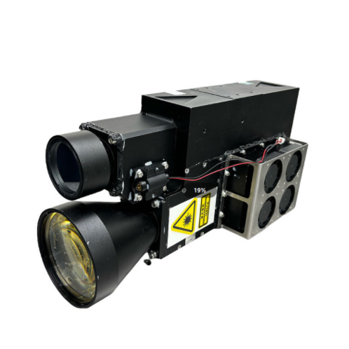
The 160mJ Laser Target Designer and Rangefinder have important applications in multiple fields, based on laser characteristics and excellent performance parameters, playing a significant role in the field of surveying and mapping.
In field terrain mapping work, surveyors can use a 160mJ Laser Target Designator and Rangefinder to quickly obtain distance information of terrain feature points. By measuring different locations and using professional surveying software, high-precision topographic maps can be drawn. For example, when surveying in mountainous areas, it is possible to quickly measure the distance of terrain undulating points such as mountains and valleys, which greatly improves work efficiency and measurement accuracy compared to traditional measurement methods.
In the preliminary survey stage of construction projects such as building engineering and road and bridge construction, the 160mJ Laser Target Designer and Rangefinder are used to measure parameters such as site distance and elevation difference. During the process of leveling the construction site, surveyors use rangefinders to determine the site boundaries and height differences at different locations, providing data support for the development of construction plans; In bridge construction, the distance between bridge piers and the terrain of the bridge site can be measured to ensure the accuracy of the project construction.
For more information on our products, please contact Jioptik.
